Every Community Has a Landmark


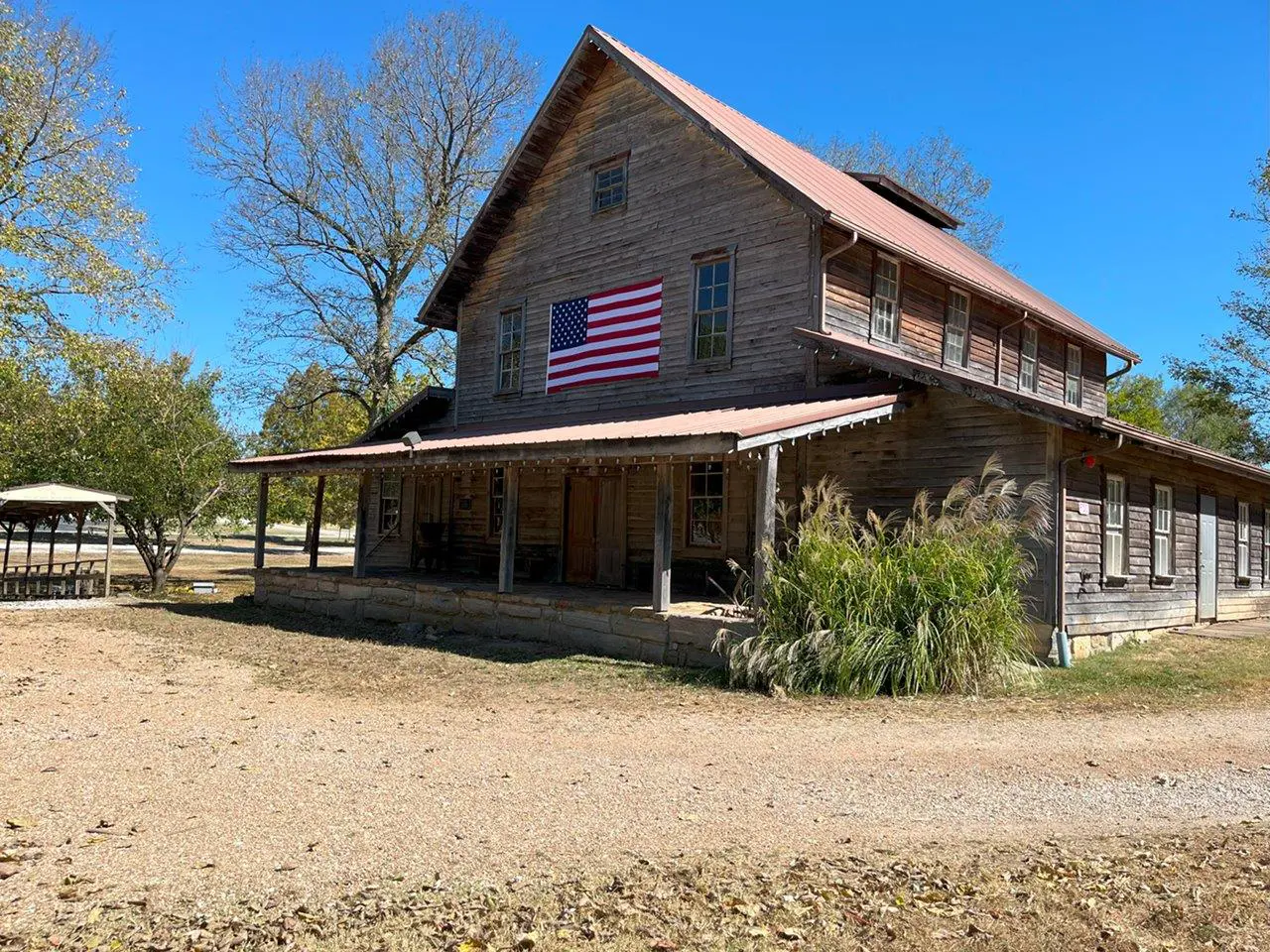
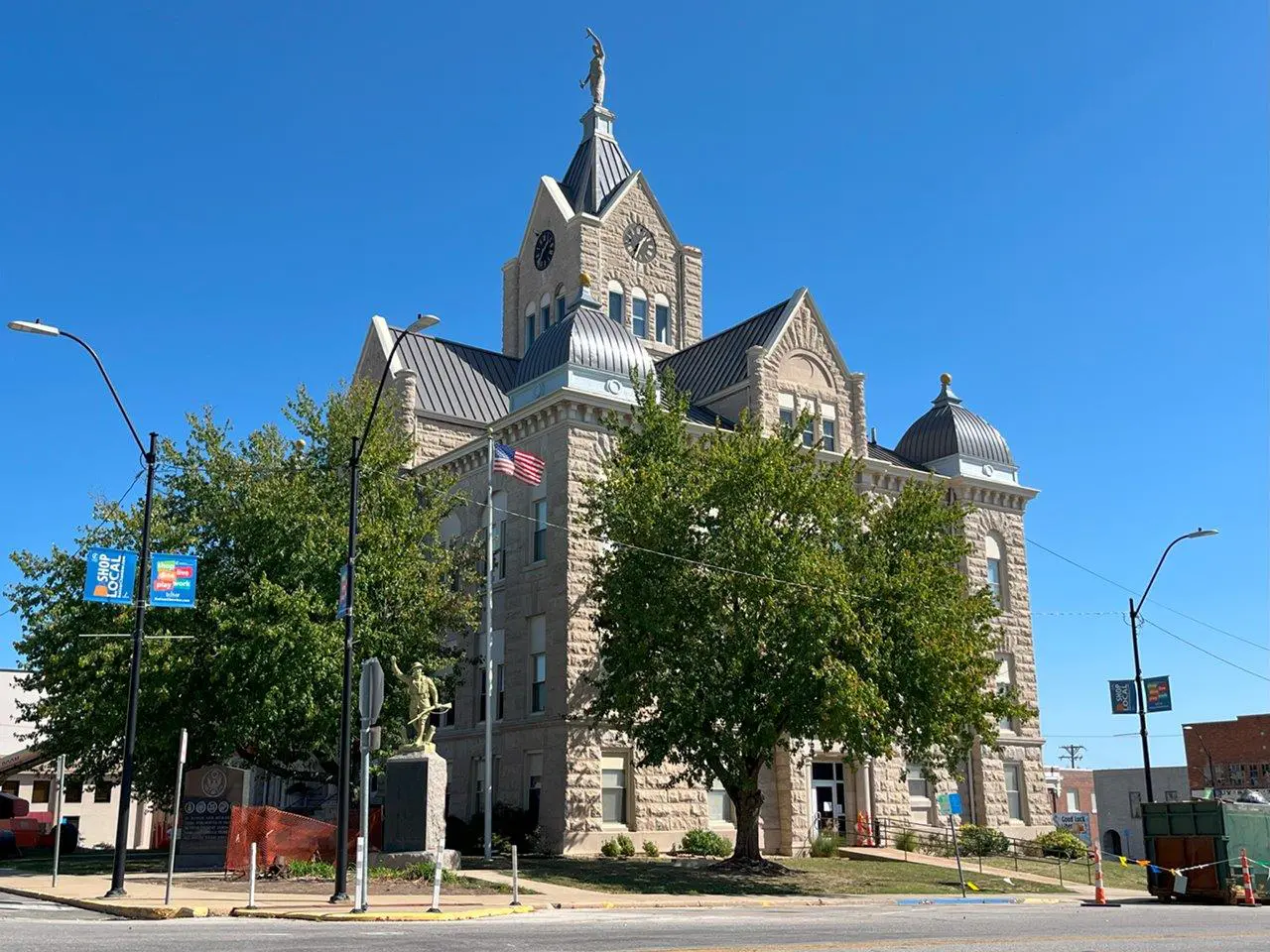
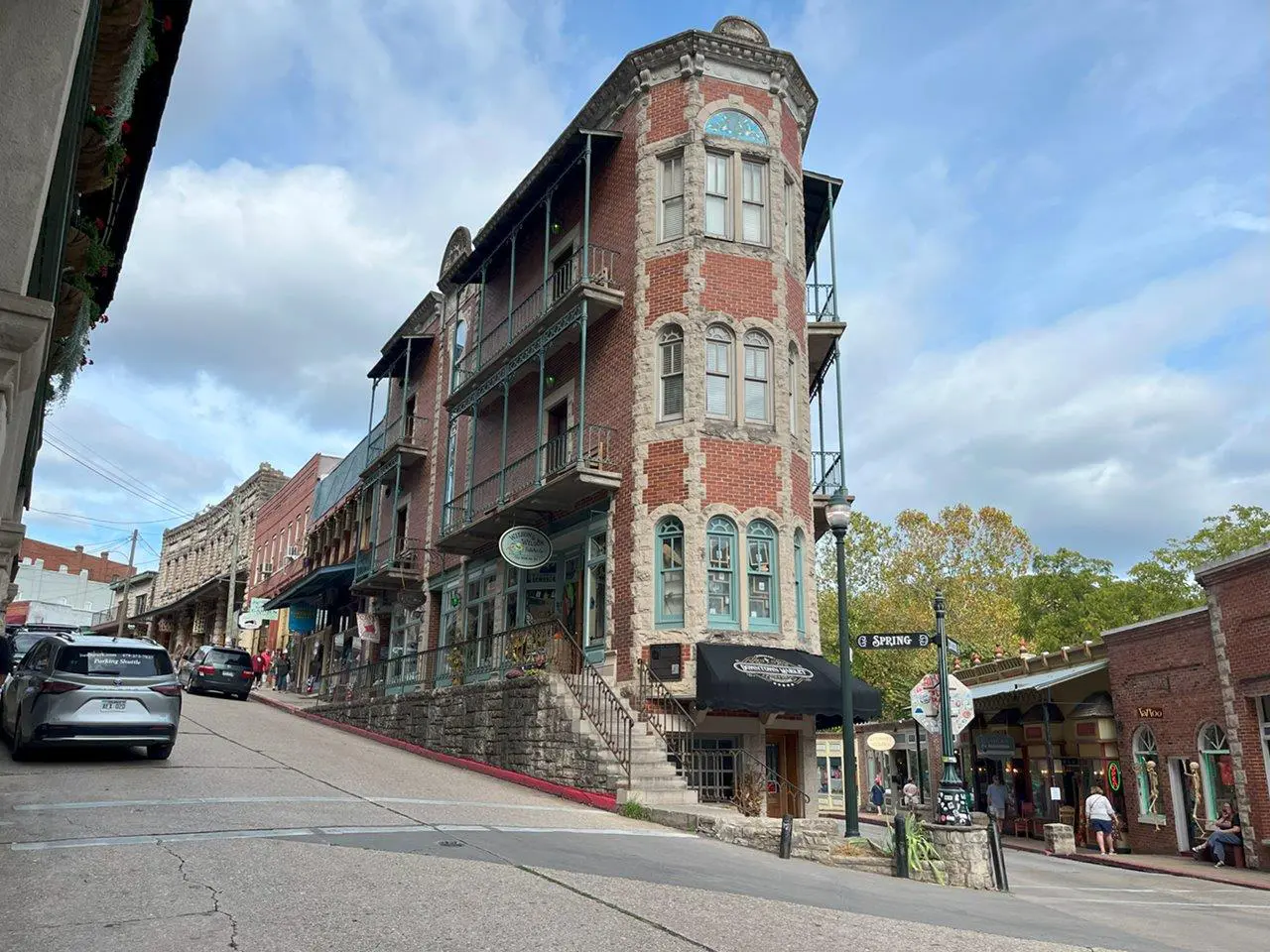
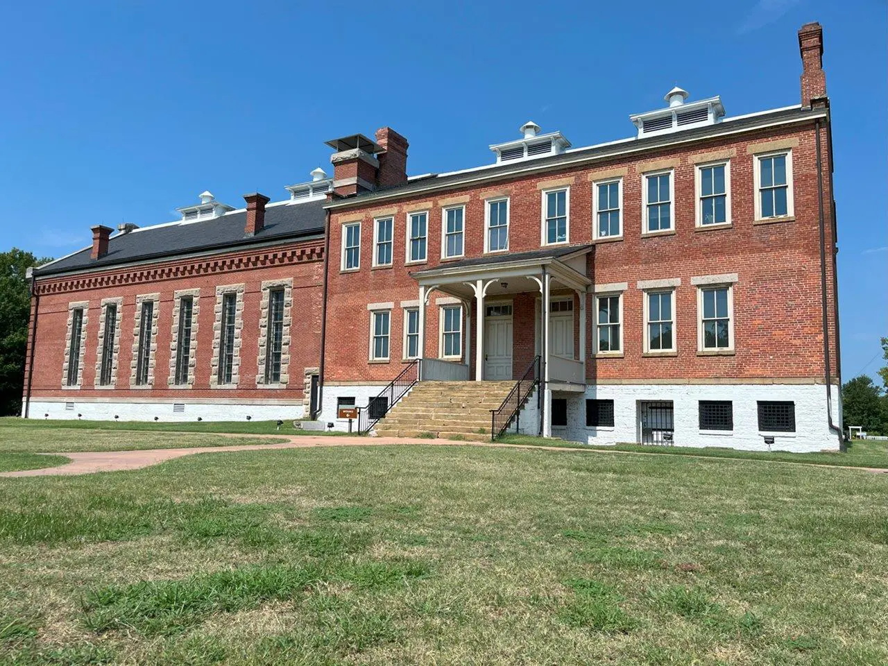

Every Community Has a Landmark
Expert Analysis, Trusted Valuations
Landmark Appraisals of the Ozarks delivers expert commercial real estate and farm appraisal services, tailored to the needs of financial institutions, attorneys, and estate planners, as well as buyers and sellers of real estate. With the expertise of an MAI-designated appraiser, each project is handled with a commitment to accuracy and thorough analysis from start to finish—providing reliable, consistent service. Whether it's managing complex assets or delivering dependable valuations, Landmark Appraisals ensures each assessment is conducted with precision and care.

Services
Coverages Areas
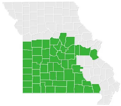
Missouri
- Barry County – Monett, Cassville
- Barton County – Lamar, Golden City
- Bates County – Butler
- Benton County – Warsaw
- Boone County – Columbia
- Butler County – Poplar Bluff
- Callaway County – Fulton
- Camden County – Camdenton, Osage Beach, Linn Creek
- Carter County – Van Buren
- Cass County – Harrisonville, Peculiar, Raymore
- Cedar County – Stockton, El Dorado Springs
- Christian County – Ozark, Nixa
- Cole County – Jefferson City
- Cooper County – Boonville
- Dade County – Greenfield, Lockwood
- Dallas County – Buffalo
- Dent County – Salem
- Douglas County – Ava
- Franklin County – Washington, Union, Sullivan, Pacific
- Gasconade County – Hermann, Owensville
- Greene County – Springfield, Republic, Willard, Strafford, Fair Grove, Walnut Grove, Ash Grove
- Henry County – Clinton
- Hickory County – Hermitage, Wheatland
- Howell County – West Plains, Willow Springs
- Jasper County – Joplin, Webb City, Carthage
- Jefferson County – Hillsboro, Festus, De Soto, Imperial, Arnold
- Johnson County – Warrensburg
- Laclede County – Lebanon
- Lawrence County – Mt. Vernon, Aurora, Marionville
- McDonald County – Pineville, Anderson
- Maries County – Vienna
- Miller County – Eldon
- Moniteau County – California, Tipton
- Morgan County – Versailles, Gravois Mills, Laurie
- Newton County – Neosho
- Oregon County – Alton, Thayer
- Osage County – Linn
- Ozark County – Theodosia, Gainesville
- Pettis County – Sedalia
- Phelps County – Rolla, St. James
- Polk County – Bolivar
- Pulaski County – Waynesville, St. Robert
- Ripley County – Doniphan
- St. Clair County – Osceola, Appleton City
- Shannon County – Eminence
- Stone County – Galena, Reeds Spring, Branson West
- Taney County – Branson, Forsyth
- Texas County – Houston, Cabool
- Vernon County – Nevada
- Webster County – Marshfield, Rogersville
- Wright County – Hartville, Mountain Grove, Norwood, Mansfield
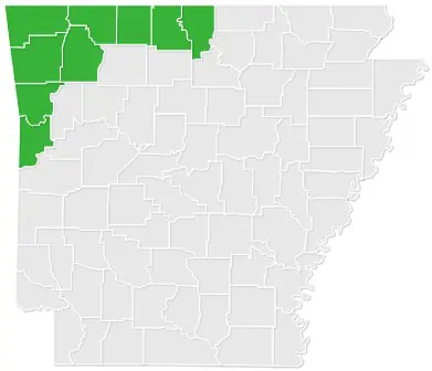
Arkansas
- Baxter County – Mountain Home
- Benton County – Bentonville, Rogers,
- Boone County – Harrison
- Carrol County – Berryville, Eureka Springs
- Crawford County – Van Buren
- Madison County – Huntsville
- Marion County – Yellville, Flippin
- Sebastian County – Fort Smith
- Washington County – Fayetteville, Springdale
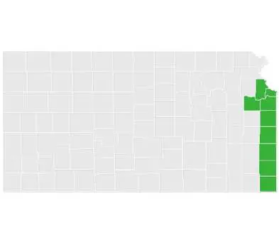
Kansas
- Bourbon County – Fort Scott
- Cherokee County – Baxter Springs, Columbus
- Crawford County - Pittsburg
- Linn County – Mound City, Pleasanton
- Miami County – Paola

